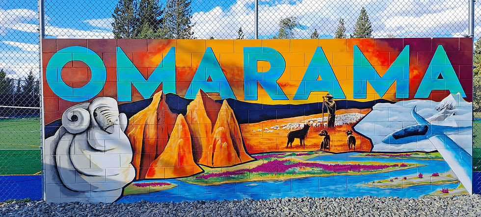
Day 9 Omarama to Otematata
- Colin Grierson
- Dec 6, 2024
- 2 min read


Today we have a short ride ahead of us, just 32 kilometres says Sau Keng. We will spend the morning working and start after lunch.

We work in our unit until checkout time at 10 then have a look around town and continue working at the local cafe.


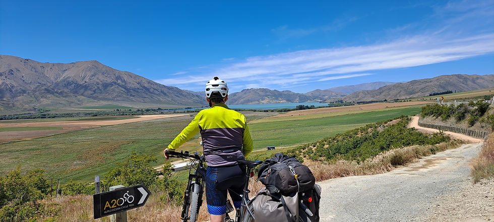
We leave Omarama at about 1pm. The road ahead disappears into the distance. And we have a light head wind. It's swung 180 degrees since yesterday :-(

After climbing a small hill and the track has moved away from the road. We can see the Ahuriri arm of lake Benmore now. It's a different colour to the Waitaki river side. More brown, less blue.
So satisfying :-) I finally see the purpose of my 'mystery structures' revealed. The steel structure is to stop the irrigator when it reaches the fence.


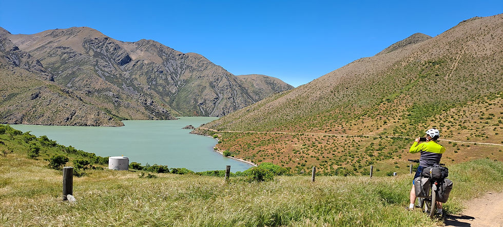
The track takes us along the southern side of the lake then leaves the road to follow the eastern shore. It's very sheltered and peaceful here. The wind has not bothered us much, mostly the track has been sheltered.

We thought there were lots of insects, but they were actually bits of fluff in the air - from willows, I did not know they had seeds like this.


California poppies. They have such a wonderful intense colour. Invasive nuisance plant of course.
The sweet briar roses here are fully in flower. Lots of pink flowers.
The track climbs, turns a corner and the landscape becomes barren - apart from scattered clumps of sweet briar. The lake narrows here, it would have been a gorge before the dam. Instead of following the road as our A2O brochure says, we are following the lake. Much more interesting :-)

The track here is dramatic, dropping steeply to the lake in most places (there is a good chance a sweet briar would catch you if you fell). There are some sharp climbs and everything is bigger than it looks. We are taking so many photos.


Around the corner from the photo above - and up a sharpish climb - the Benmore dam came into view. Looking down the river we can see Otematata.


They are putting a lot of water through the power station. The rivers seem high to us and the lake is full. Might as well use the water or they will have to spill it.

We ride out onto the dam for a bit then turn for town. It is a surprising long, steep drop to river level, Benmore dam is 110 m high, tallest dam in the country.
We pass a wetland on the way into town, quite a weird place, bare rocks, contrasting colours, and yes, the water really was that green!

Otematata. We find our accommodation, have a quick look around, then settle down. Tomorrow's plan is a bit disrupted, looking at the trial advisory notices, we see the road across the Aviemore Dam is closed 9am until 4pm. The trail follows the eastern side of the lake then crosses the dam. If the dam is shut we will have to follow SH83 instead. Will try to confirm this tomorrow.
Statistics
Distance 38.4 km
Climbed 367 m
Time 3:41


Comments