Day 17 Ranfurly to Omakau
- Colin Grierson
- Dec 15, 2024
- 4 min read


We ride from Ranfurly to Omakau today, about 60 km. Weather is good and the forecast is for light winds, our ride should not be hard.
We like our motel here, (Ranfurly motels). We stayed an extra day and worked, it's very comfortable and convenient despite being at one end of the town. The motel has a generous back yard with impressive willow trees. The owner told us that a month ago they had 30cm of snow on the ground. Hard to imagine. Also one of the willows was crushed by snow a few years ago. (It's regrowing now)


Ranfurly is a 'created' town. They need a stop on the railway and none of the existing towns were suitably positioned, so they created the town for the railway stop. Eweburn was proposed as the name for the town, and from this cute micro post office, was used for a while. But politics carried the day and Lord Ranfurly got a town named after him.

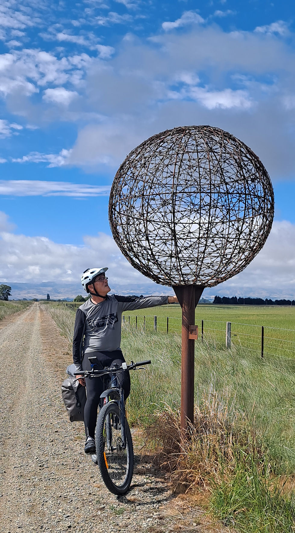
We zoom through the inner planets again, they have the representations on both sides of the 'sun'. It is impressively flat here, and the plains are looking great, lush green grass, with mountains in the distance framing the view. A few bends in the track would be good though.

Jupiter, we are a decent way out now :-)

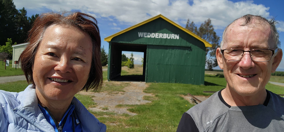
Wedderburn. Near the high point of the track and where we stayed two years ago. The local pub looked very quiet, we thought it would be closed, but the very pleasant lady publican was there, made us coffee and took photos of us too. :-)


The high point, 618m, but the climb has been oh so gradual. The breeze, which has come up now - and is against us again - has far more effect.

Phone call! It is a friend who has arrived at our Bach at Mangawhai. There seems to be no water. And the TV wont go. A long conversation ensues... In the end we call the Mangawhai local plumber, who is in Auckland, but can drop by later as he is returning this evening.
Oturehua. Home of Gilcrest's store, which has been servicing the area continuously since 1902 and in many ways is little changed since then. Also Hayes engineering, creator of a fence wire strainer now used worldwide. But we want lunch and go to the tavern. Only pies are available. I order on behalf of Sau Keng as we are behind schedule and she has work to do tonight. "I don't want a pie" Is the response when I tell her... And the pies take a while to arrive... (But it's very nice here and we like the old barman) Eventually the pies arrive. Freshly baked, not reheated. Sau Keng takes a bite, changes expression, apologizes. "This is a very nice pie" Sanga's pies, recommended :-)


We leave the tavern and ride the short distance back to the track. Sau Keng, well in front of me, turns left and zooms off. It's great seeing her ride so confidently - but I'm going to have to sprint for some distance to catch her and point her the right way! I dither and the distance increases, so I take the easy way and use the phone.

We come to a new memorial by the track, I don't think this was here when we first rode the trail. It represents a Maori legend I've never heard of. Two headed dogs?


Oturehua is at the northern end of Ida valley. This is an unusual place, more of a basin than a valley, as the lowest point is in the middle where the Poolburn gorge drains it through a narrow gorge. I wonder how this came to be, maybe there was a lake, that eventually overflowed at the location of the gorge and gradually cut deeper and deeper until no lake remained. (A geographical report I found says the river was there first and cut the gorge as the Raggedy Range was uplifted) It looks like great farmland - but very dependent on irrigation. (The report I found was looking at the possibilities of using groundwater for this)


The Poolburn viaduct is at the start of the gorge. The masonry is really lovely, all handmade from the nearby schist rock.

Building the railway through the gorge - largely by hand - awesome. See the tunnel in the distance. But it took a while.

Another viaduct was built over the Manuherkia river at the end of the Poolburn gorge. Construction of the railway here was so slow that technology had changed by the time they got here. This bridge was built of concrete and steel, the Poolburn viaduct at the start of the gorge was made of stone and iron.

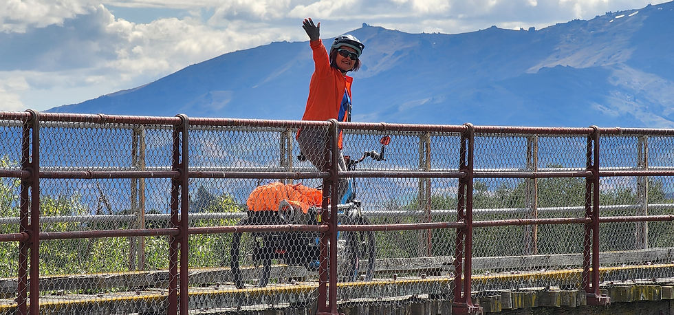
Another long straight, this time between Lauder and Omakau. The crossing is for cattle, there are several of these where the railway goes through a cutting, making their construction easy.

Omakau, our destination. The loading bay here would be a perfect place to load my bike onto the car roof!

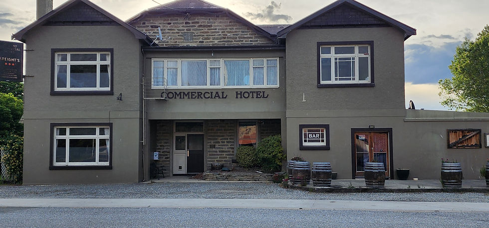
We find our B&B, settle in, then walk to the hotel where we stayed two years ago, to get dinner. Closed! :-( Sad. We remember it fondly as it was where we spent our first night on our first multi day ride. Luckily the cafe across the road is still selling cabinet food.
Statistics
Distance 61.5 km
Climbed 278 m
Time 4:08


Comments